Qualitative leap in data processing services
Since 2020, the RIPI specialists accumulate statistics related to pilot operation of the Complex for automatic stream processing of ERS data upon requests from different customers. Dmitry Fedotkin, Head of RIPI’s Division, reported on the interim results of this work.
Checking functionality of a new software suite for automatic stream processing of ERS data was conducted a year ago by specialists of RIPI together with those from TerraTech company for eight pilot regions of the Russian Federation. More than 2500 survey routes with a total of about 40 TB, obtained from the “Resurs-P” and “Kanopus-V” space systems were processed. The total area of generated ERS products covered about 17 million sq. km.
Since September 2020, together with the Research Center for Earth Operative Monitoring (NTs OMZ, part of JSC Russian Space Systems), we have started a pilot operation of the Complex for processing archival ERS data, acquired by the Resurs-P and Kanopus-V, upon requests from different customers (sectoral and regional agencies). For one month of operation, with an average load of Complex at 15%, over 42 000 individual pictures, totalling approximately 19 million sq. km, were processed.
When developing the Complex for stream processing of ERS data, the main objective was to provide a fully automatic (without operator), the fastest possible (within minutes) and high-quality processing of the data gathered by the domestic constellation of ERS spacecraft, and in addition, providing the Complex with the ability to scale rapidly as capacity and performance demands increase with the prospect of rising constellations up to tens and hundreds of satellites and obtaining uniform output products.
At the moment, the Complex has been deployed. It’s operating on the basis of a computing cluster, comprising ten servers installed in the Operator of space ERS systems owned Data Processing Center, and work with it is carried out remotely.
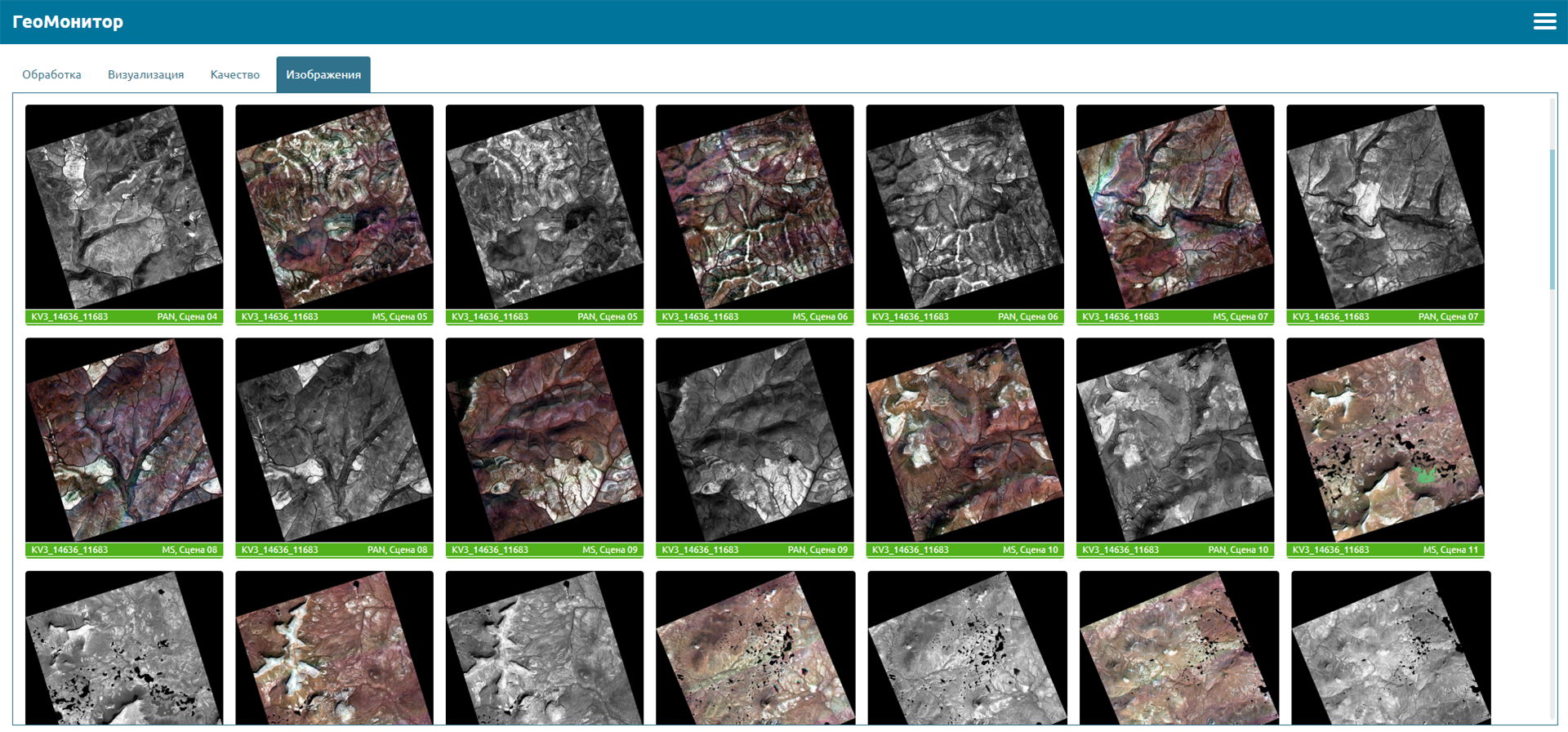
The Complex is able to receive as input both the raw data downlinked from antenna systems, and the archived data. At the output, it generates information products with the specified data processing levels, up to orthophoto imagery production. All processing is carried out in automatic mode, the operator can monitor these processes remotely.
The Complex takes: less than 2 minutes to extract all the raw data transmitted during one downlink session to Level 0; less than 1 min - to convert one Level 0 individual raw image into Level 2 (ortho-product); less than 20 minutes - for unpacking one downlink session and processing all survey routes, included into this session, up to Level 2 products and loading them into the Geoportal.
The productivity of the Complex in the current configuration on the basis of 10 servers is 300 thousand scenes of ERS products with a total area of 125 million sq. km per month.
RIPI Press Service