METEOR-M 航天器上的 SEVERYANIN-M 雷达
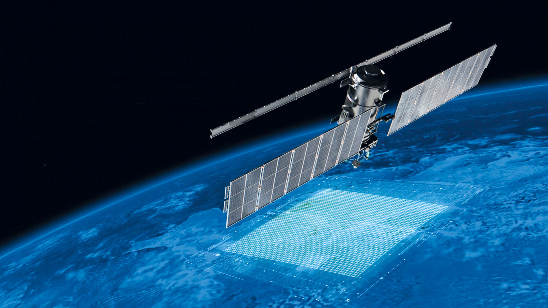
将近15年前,2009年9月17日,搭载在METEOR-M1号飞船 上在本所研制的SEVERYANIN-М天基雷达被发射上太空。 距离第一颗卫星发射升空5年后,2014年7月8日,第二颗卫星METEOR-M二号被送到外层空间了。这颗卫星也搭载一个雷达 在本所研制的SEVERYANIN-М。
2009年9月17日,用《联盟-2.1b》运载火箭的从Baikonur航天发射场用于水文气象和海洋学支持的《流星-M》1号飞船搭载着的SEVERYANIN-М天基雷达被送入目标轨道。《流星-M》1号是《流星-3M》空间综合体的轨道组成部分的一部分,该综合体旨在获取ERS数据,为了造福实用气象学,水文学,农业气象学。这些数据让专家们能监测气候和环境;监测自然和技术原因引起的紧急情况;监测太阳地球物理条件;研究大气。
2009年9月17日的发射启动俄罗斯气象卫星星座的重建。《流星- M》1号成为长期以来新一代第一台水文气象航天器,其性能并不逊色于西方。这使俄罗斯独立于外国气象卫星,在战略上具有重要独立意义。15年前,星载雷达Severyanin-M 作为《流星-M》号气象卫星的一部分发射入轨道。.
Aleksander Gyune,制造雷达系统的部门的高级研究员,回忆说:-
- 对于本所来说,这项工作于1999年开始,航天器制造商VNIIEM建议本所为新系列气象卫星METEOR-M设计小型的宽波束雷达。SEVERYANIN-M可以监测无线电波X波段内的冰雪覆盖,水文物体的状态以及土地和植被的状态。Severyanin-M机载雷达系统具有两种工作模式,水平空间分辨率分别为500和1000m,测距为600km。《流星-M》1号飞船搭载着的SEVERYANIN-М天基雷达在运行期间, 进行数百次雷达工况的接通, 这使得我们能够拍摄和发送覆盖地球的广大区域的图像。
Aleksander Kovalenko,制造雷达系统的部门长, SAR 的设计者之一,也是名称构思的作者,给本所记者分享他的回忆:
- - 这个星载雷达综合体名称的选择受到本所的地处-莫斯科北部地区的影响,还有大量反映这一位置的地名。举个例子就足够了,Severyaninsky跨线桥, Severyaninsky公路桥, 通道, Severyanin站台, 以及还有一家百货商店叫这样的名字。许多工程师、开发人员、程序员都喜欢这个雷达名字的思想了。与此同时,"Severyanin"这个名字绝对准确地反映它的用途--高纬度北极地区的雷达测量。结果,这个名字被长合了,它取代以前的雷达工作名称。
对大家说来都 设计并建SEVERYANIN-М天基雷达是第一个实验。世界空间科学和技术认为这种多用途遥感航天器能够提供多传感器分析,是最复杂的设备。在实施这个复杂的项目时,项目开发的核心团队组成了, 他们通过相互交流以及与其他相关公司的互动获得许多宝贵的经验。当时取得的许多组织和技术成就对我们未来的在天基合成孔径雷达领域的项目被证明是非常有用。
本两台Severyanin雷达都超出它们设计寿命:它们分别运行七年和五年,而不是比原计划的三年。十年前,就2014年7月,搭载在METEOR-M二号飞船上更多SEVERYANIN-М天基雷达被发射上太空。这种雷达也是在本所研制的, 但与早期 制造的雷达不同: 提供更高辐射灵敏度的观察模式,从而可以按冰层的厚度和海冰的不同颜色改进冰的年龄的定年。这些信息对于在北极地区工作的冰川学家和其他专家来说具有重要意义。
虽然目前本两个雷达都停止使用了,但就算到了今天,十年半之后,航天工业专家们仍然认为SEVERYANIN-M系列雷达是一个非常有价值的项目。Severyanin-M雷达的特殊意义在于, 为其设计和制造Severyanin-M雷达的一些航天器已投入批量生产,并且仍然有效运行。从METEOR-M 1号收集的数据成为全球和区域天气分析和预报的基础; 用于分析航空飞行条件;监测气候; 监测近地空间的太阳地球物理状态;监测电离层和地球磁场的状态;以及管理环境紧急情况。
这些信息的主要用户是:俄罗斯联邦水文气象与环境监测局;俄罗斯联邦自然资源与环境部;俄罗斯国家航天集团公司; 俄罗斯紧急情况部 ;俄罗斯联邦联邦林业局;俄罗斯联邦主体的行政当局和其他消费者。
根据RSS股份公司和VNIIEM股份公司的
新闻中心的材料编写